Maps
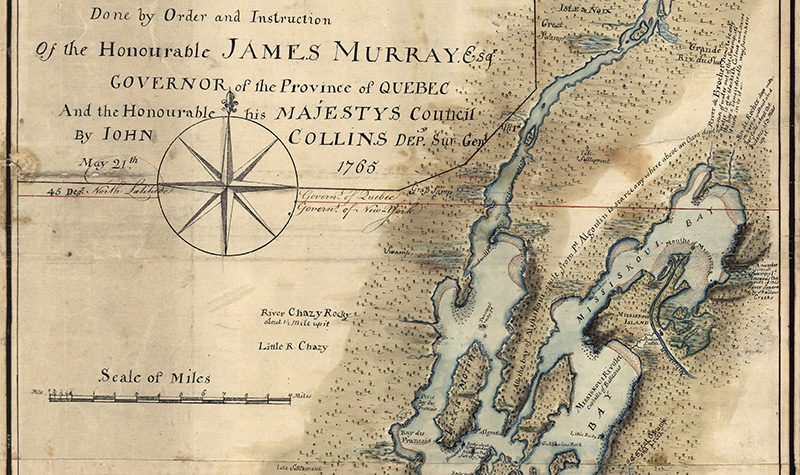
The area included in the Champlain Valley National Heritage Partnership has a long history of human settlement, exploration, colonization, land claims, and shifting boundaries. This history and the human imprint on the land has been well documented with maps for centuries. In recent years, the Lake Champlain Basin Program and CVNHP have added some their own maps to this legacy.
CVNHP Maps
Resource Inventory Maps, by CVNHP Region
Richelieu River Valley →>
Northern Lake Champlain →
Southern Lake Champlain →
Upper Hudson River Region →
Lake Champlain Basin Atlas
The Lake Champlain Basin Atlas includes dynamic, interactive web maps that illustrate a variety of themes, including historical and recreation resources. The CVNHP Sites map includes the sites listed on the regional resource inventory maps above.
View other cultural heritage and recreational resource maps →